Alkmaar
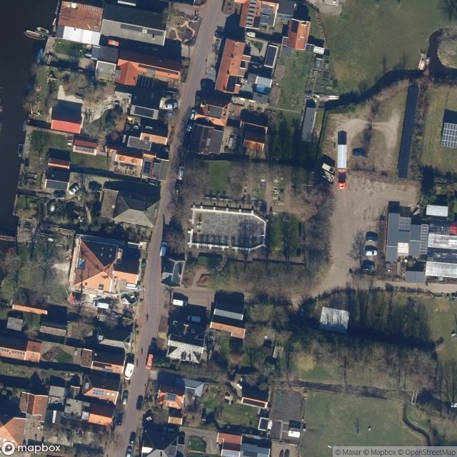
Urbex Map Raadhuisstraat, Graft
AlkmaarNoord HollandNetherlands
Regular lifetime updates
Raadhuisstraat, Graft - Coordonnées GPS Urbex
Obtenez la coordonnée GPS exacte de ce lieu abandonné situé dans le département Alkmaar (Noord Holland, Netherlands). Spot urbex vérifié et géolocalisé.
Graft (Dutch pronunciation: [ɣrɑft]) is a village in the Dutch province of North Holland. It is a part of the municipality of Alkmaar, and lies about 11 km (6.8 mi) south of the city of Alkmaar. The village was first mentioned in the 12th century as Greft, and means "dug waterway".
0,90EUR
Paiement unique - accès à vie
100% Secure Checkout
AMEX
Google Pay
stripe
SSL encrypted · No banking data stored
Ce qui est inclus
- Coordonnée GPS exacte
- Photo satellite du spot
- Accès immédiat après achat