Fauske
Urbex Map Sjønstågårdveien, Fauske
FauskeNordlandNorway
Regular lifetime updates
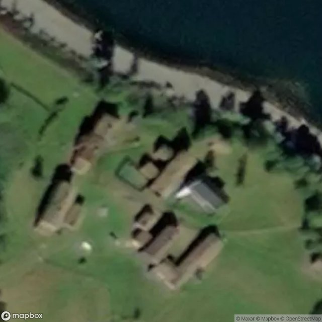
Sjønstågårdveien, Fauske - Coordonnées GPS Urbex
Obtenez la coordonnée GPS exacte de ce lieu abandonné situé dans le département Fauske (Nordland, Norway). Spot urbex vérifié et géolocalisé.
The Sjønståelva, known as the Langvasselva in its upper course, is a river in Fauske Municipality in Nordland county, Norway. The river is located in the valley between the town of Fauske and the village of Sulitjelma.
0,90EUR
Paiement unique - accès à vie
100% Secure Checkout
AMEX
Google Pay
stripe
SSL encrypted · No banking data stored
Ce qui est inclus
- Coordonnée GPS exacte
- Photo satellite du spot
- Accès immédiat après achat