Nord Aurdal
Urbex Map Fagernes
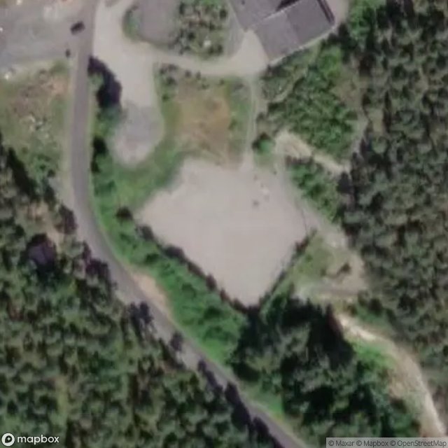
Nord AurdalOpplandNorway
Regular lifetime updates
Fagernes - Coordonnées GPS Urbex
Obtenez la coordonnée GPS exacte de ce lieu abandonné situé dans le département Nord Aurdal (Oppland, Norway). Spot urbex vérifié et géolocalisé.
Leira is a village in Nord-Aurdal Municipality in Innlandet county, Norway. The village is located along the river Begna, about 2 kilometres (1.2 mi) to the southeast of the town of Fagernes. The European route E16 highway runs through the village.
0,90EUR
Paiement unique - accès à vie
100% Secure Checkout
AMEX
Google Pay
stripe
SSL encrypted · No banking data stored
Ce qui est inclus
- Coordonnée GPS exacte
- Photo satellite du spot
- Accès immédiat après achat