Strzelce Drezdenko
Urbex Map Czarnolesie, gmina Dobiegniew
Strzelce DrezdenkoLubuskiePoland
Regular lifetime updates
- Bunkers
Czarnolesie, gmina Dobiegniew - Coordonnées GPS Urbex
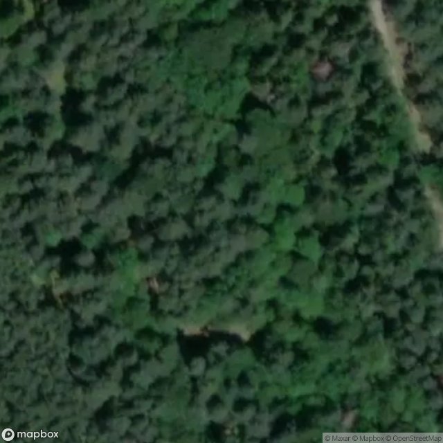
Obtenez la coordonnée GPS exacte de ce lieu abandonné situé dans le département Strzelce Drezdenko (Lubuskie, Poland). Spot urbex vérifié et géolocalisé.
[OSM] Schron bojowy z kopułą 3P7 / PzW.918 Type: node historic: yes military: bunker --- [OSM] Schron bojowy dla km. - Odp. "B1" Type: node historic: yes military: bunker --- [OSM] Schron bojowy Ringstand 58c Type: node historic: yes military: bunker --- [OSM] Wieża obserwacyjna 8P7 Type: node historic: yes military: bunker --- [OSM] Schron bojowy dla km-Odp."B1" / Ke.19 Type: node historic: yes military: bunker
0,90EUR
Paiement unique - accès à vie
100% Secure Checkout
AMEX
Google Pay
stripe
SSL encrypted · No banking data stored
Ce qui est inclus
- Coordonnée GPS exacte
- Photo satellite du spot
- Accès immédiat après achat