Limanowa
Urbex Map Kóźle, Szczawa
LimanowaMałopolskiePoland
Regular lifetime updates
- Abandoned hotels
Kóźle, Szczawa - Coordonnées GPS Urbex
Obtenez la coordonnée GPS exacte de ce lieu abandonné situé dans le département Limanowa (Małopolskie, Poland). Spot urbex vérifié et géolocalisé.
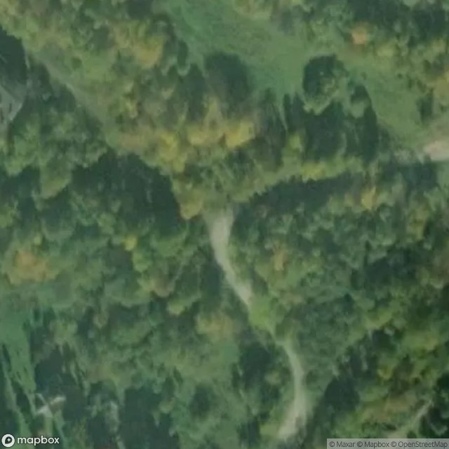
Gmina Szczawa (Polish: [ˈʂt͡ʂa.va]) is a rural municipality in Lesser Poland Voivodeship, Poland, located within the Limanowa County, between mountain ranges of Gorce and Island Beskids. Its seat of government is in the village of Szczawa, which is its only locality. The municipality has an area of 42.39 km2, and as of 2025, has the population of 1830 people.
0,90EUR
Paiement unique - accès à vie
100% Secure Checkout
AMEX
Google Pay
stripe
SSL encrypted · No banking data stored
Ce qui est inclus
- Coordonnée GPS exacte
- Photo satellite du spot
- Accès immédiat après achat