Wadowice
Urbex Map The Map's Forgotten Node
WadowiceMałopolskiePoland
Regular lifetime updates
The Map's Forgotten Node - Coordonnées GPS Urbex
Obtenez la coordonnée GPS exacte de ce lieu abandonné situé dans le département Wadowice (Małopolskie, Poland). Spot urbex vérifié et géolocalisé.
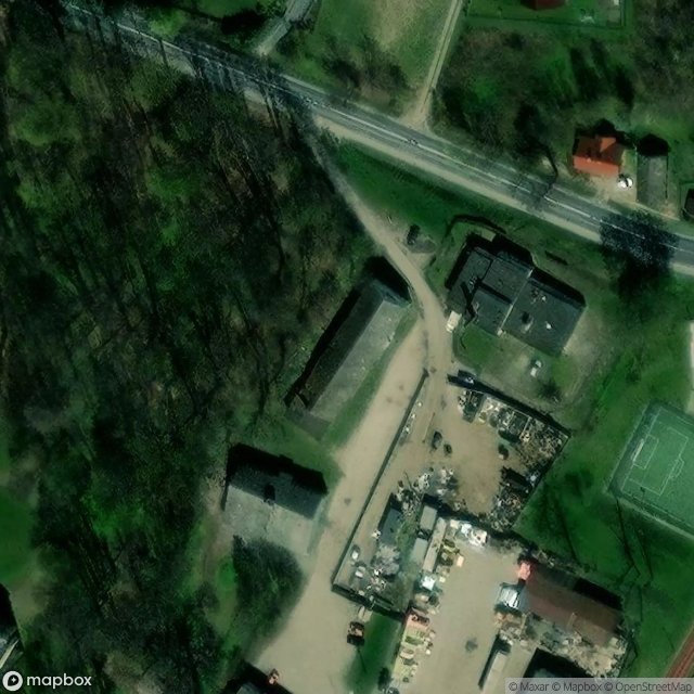
Ryczów [ˈrɨt͡ʂuf] is a village in the administrative district of Gmina Spytkowice, within Wadowice County, Lesser Poland Voivodeship, in southern Poland. The village was founded in the early 14th century by Cistercian monks from Kraków. A castle was also built in the 14th century, possibly as part of king Casimir III's border defense system.
0,90EUR
Paiement unique - accès à vie
100% Secure Checkout
AMEX
Google Pay
stripe
SSL encrypted · No banking data stored
Ce qui est inclus
- Coordonnée GPS exacte
- Photo satellite du spot
- Accès immédiat après achat