Kedzierzyn Kozle
Urbex Map Kędzierzyn, Kędzierzyn-Koźle
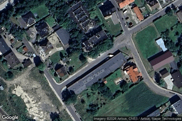
Kedzierzyn KozleOpolskiePoland
Regular lifetime updates
- Abandoned factories
Kędzierzyn, Kędzierzyn-Koźle - Coordonnées GPS Urbex
Obtenez la coordonnée GPS exacte de ce lieu abandonné situé dans le département Kedzierzyn Kozle (Opolskie, Poland). Spot urbex vérifié et géolocalisé.
Kędzierzyn-Koźle County (Polish: powiat kędzierzyńsko-kozielski) is a unit of territorial administration and local government (powiat) in Opole Voivodeship, south-western Poland. It came into being on January 1, 1999, as a result of the Polish local government reforms passed in 1998. Its administrative seat and only town is Kędzierzyn-Koźle, which lies 40 kilometres (25 mi) south-east of the regional capital Opole.
0,90EUR
Paiement unique - accès à vie
100% Secure Checkout
AMEX
Google Pay
stripe
SSL encrypted · No banking data stored
Ce qui est inclus
- Coordonnée GPS exacte
- Photo satellite du spot
- Accès immédiat après achat