Nowy Dwor Gdanski
Urbex Map Dworek
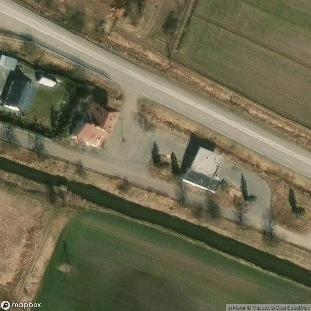
Nowy Dwor GdanskiPomorskiePoland
Regular lifetime updates
Dworek - Coordonnées GPS Urbex
Obtenez la coordonnée GPS exacte de ce lieu abandonné situé dans le département Nowy Dwor Gdanski (Pomorskie, Poland). Spot urbex vérifié et géolocalisé.
Nowa Kościelnica [ˈnɔva kɔɕt͡ɕɛlˈnit͡sa] is a village in the administrative district of Gmina Ostaszewo, within Nowy Dwór County, Pomeranian Voivodeship, in northern Poland. Before 1772 the area was part of Kingdom of Poland, 1772-1919 Prussia and Germany, 1920-1939 Free City of Danzig, 1939 - February 1945 Nazi Germany. For the history of the region, see History of Pomerania.
0,90EUR
Paiement unique - accès à vie
100% Secure Checkout
AMEX
Google Pay
stripe
SSL encrypted · No banking data stored
Ce qui est inclus
- Coordonnée GPS exacte
- Photo satellite du spot
- Accès immédiat après achat