Ostrowiec
Urbex Map Sabatówka - wioska czarownic, Bałtów
OstrowiecSwietokrzyskiePoland
Regular lifetime updates
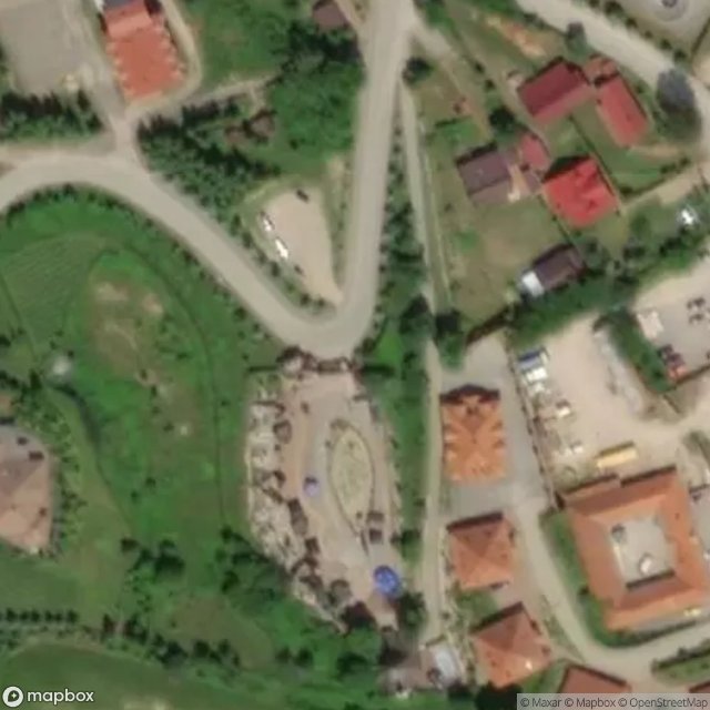
Sabatówka - wioska czarownic, Bałtów - Coordonnées GPS Urbex
Obtenez la coordonnée GPS exacte de ce lieu abandonné situé dans le département Ostrowiec (Swietokrzyskie, Poland). Spot urbex vérifié et géolocalisé.
Gmina Bałtów is a rural gmina (administrative district) in Ostrowiec County, Świętokrzyskie Voivodeship, in south-central Poland. Its seat is the village of Bałtów, which lies approximately 15 kilometres (9 mi) north-east of Ostrowiec Świętokrzyski and 68 km (42 mi) east of the regional capital Kielce. The gmina covers an area of 104.92 square kilometres (40.5 sq mi), and as of 2006 its total population is 3,999.
0,90EUR
Paiement unique - accès à vie
100% Secure Checkout
AMEX
Google Pay
stripe
SSL encrypted · No banking data stored
Ce qui est inclus
- Coordonnée GPS exacte
- Photo satellite du spot
- Accès immédiat après achat