Skarzysko
Urbex Map 42, Sołtyków
SkarzyskoSwietokrzyskiePoland
Regular lifetime updates
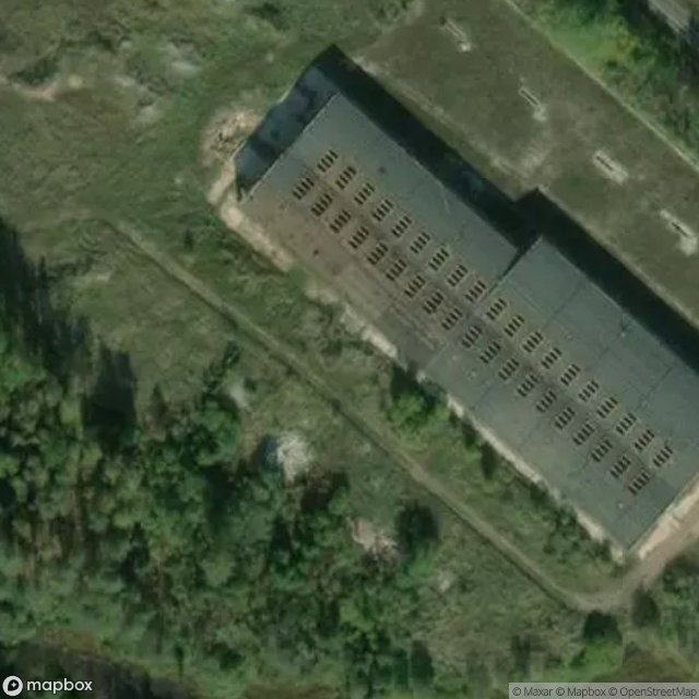
42, Sołtyków - Coordonnées GPS Urbex
Obtenez la coordonnée GPS exacte de ce lieu abandonné situé dans le département Skarzysko (Swietokrzyskie, Poland). Spot urbex vérifié et géolocalisé.
Sołtyków [sɔu̯ˈtɨkuf] is a village in the administrative district of Gmina Bliżyn, within Skarżysko County, Świętokrzyskie Voivodeship, in south-central Poland. It lies approximately 6 km (4 mi) north-west of Bliżyn, 17 km (11 mi) west of Skarżysko-Kamienna, and 29 km (18 mi) north of the regional capital Kielce.
0,90EUR
Paiement unique - accès à vie
100% Secure Checkout
AMEX
Google Pay
stripe
SSL encrypted · No banking data stored
Ce qui est inclus
- Coordonnée GPS exacte
- Photo satellite du spot
- Accès immédiat après achat