Wegorzewo
Urbex Map Sztynort
WegorzewoWarminsko MazurskiePoland
Regular lifetime updates
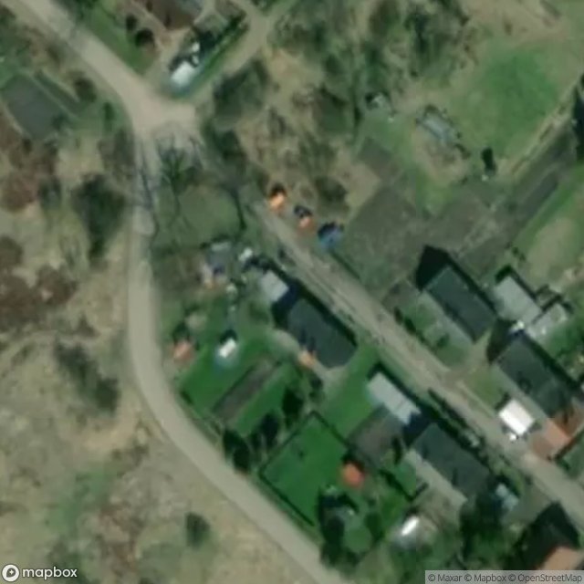
Sztynort - Coordonnées GPS Urbex
Obtenez la coordonnée GPS exacte de ce lieu abandonné situé dans le département Wegorzewo (Warminsko Mazurskie, Poland). Spot urbex vérifié et géolocalisé.
Sztynort [ˈʂtɨnɔrt] (German: Steinort) is a village in the administrative district of Gmina Węgorzewo, within Węgorzewo County, Warmian-Masurian Voivodeship, in north-eastern Poland, close to the border with the Kaliningrad Oblast of Russia. It lies approximately 11 km (7 mi) south-west of Węgorzewo and 87 km (54 mi) north-east of the regional capital Olsztyn. It is situated in the historic region of Masuria.
0,90EUR
Paiement unique - accès à vie
100% Secure Checkout
AMEX
Google Pay
stripe
SSL encrypted · No banking data stored
Ce qui est inclus
- Coordonnée GPS exacte
- Photo satellite du spot
- Accès immédiat après achat