Szamotuły
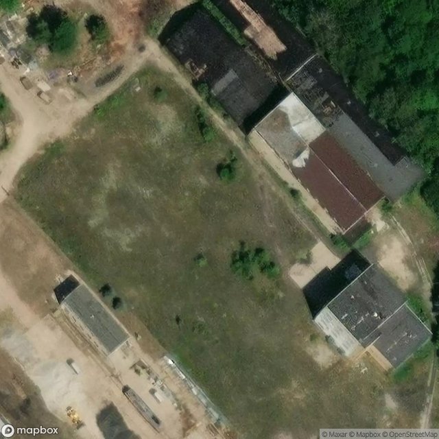
Urbex Map † cukrownia Szamotuły - pozostałości, Szamotuły
SzamotułyWielkopolskiePoland
Regular lifetime updates
† cukrownia Szamotuły - pozostałości, Szamotuły - Coordonnées GPS Urbex
Obtenez la coordonnée GPS exacte de ce lieu abandonné situé dans le département Szamotuły (Wielkopolskie, Poland). Spot urbex vérifié et géolocalisé.
Szamotuły [ʂamɔˈtuwɨ] (German: Samter, Yiddish: Zamter) is a town in western Poland, in Greater Poland Voivodeship, about 35 kilometres (22 miles) northwest of the centre of Poznań. It is the seat of Szamotuły County and of the smaller administrative district Gmina Szamotuły. The population was 19,090 in 2011.
0,90EUR
Paiement unique - accès à vie
100% Secure Checkout
AMEX
Google Pay
stripe
SSL encrypted · No banking data stored
Ce qui est inclus
- Coordonnée GPS exacte
- Photo satellite du spot
- Accès immédiat après achat