Drawsko
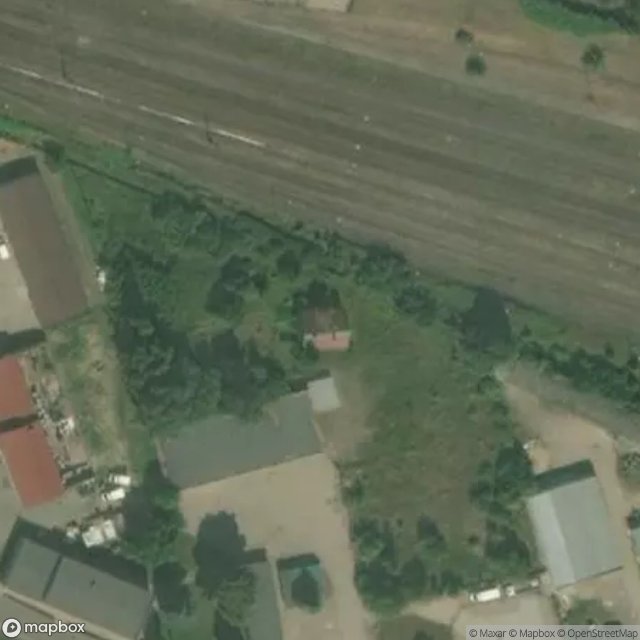
Urbex Map Piaskowa, Złocieniec
DrawskoZachodniopomorskiePoland
Regular lifetime updates
Piaskowa, Złocieniec - Coordonnées GPS Urbex
Obtenez la coordonnée GPS exacte de ce lieu abandonné situé dans le département Drawsko (Zachodniopomorskie, Poland). Spot urbex vérifié et géolocalisé.
Złocieniec [zwɔˈt͡ɕɛɲɛt͡s] (Kashubian: Walczembórg; German: Falkenburg) is a town in northwestern Poland. Located in West Pomeranian Voivodeship's Drawsko County since 1999, it was previously a part of Koszalin Voivodeship (1950–1998). The population of Złocieniec is around 12,000 - it is therefore the biggest town in the county (powiat).
0,90EUR
Paiement unique - accès à vie
100% Secure Checkout
AMEX
Google Pay
stripe
SSL encrypted · No banking data stored
Ce qui est inclus
- Coordonnée GPS exacte
- Photo satellite du spot
- Accès immédiat après achat