Drawsko
Urbex Map Młynarska, Nowe Worowo
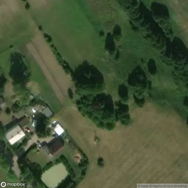
DrawskoZachodniopomorskiePoland
Regular lifetime updates
Młynarska, Nowe Worowo - Coordonnées GPS Urbex
Obtenez la coordonnée GPS exacte de ce lieu abandonné situé dans le département Drawsko (Zachodniopomorskie, Poland). Spot urbex vérifié et géolocalisé.
Nowe Worowo [ˈnɔvɛ vɔˈrɔvɔ] is a village in the administrative district of Gmina Ostrowice, within Drawsko County, West Pomeranian Voivodeship, in north-western Poland. It lies approximately 8 km (5 mi) east of Ostrowice, 23 km (14 mi) north-east of Drawsko Pomorskie, and 103 km (64 mi) east of the regional capital Szczecin.
0,90EUR
Paiement unique - accès à vie
100% Secure Checkout
AMEX
Google Pay
stripe
SSL encrypted · No banking data stored
Ce qui est inclus
- Coordonnée GPS exacte
- Photo satellite du spot
- Accès immédiat après achat