Stargard
Urbex Map Kozy
StargardZachodniopomorskiePoland
Regular lifetime updates
Kozy - Coordonnées GPS Urbex
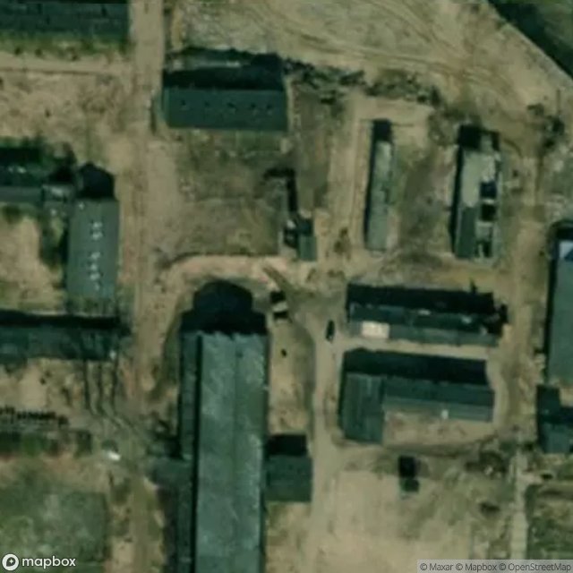
Obtenez la coordonnée GPS exacte de ce lieu abandonné situé dans le département Stargard (Zachodniopomorskie, Poland). Spot urbex vérifié et géolocalisé.
Kozy [ˈkɔzɨ] (formerly German: Kashagen) is a village in the administrative district of Gmina Dobrzany, within Stargard County, West Pomeranian Voivodeship, in north-western Poland. It lies approximately 3 km (2 mi) north of Dobrzany, 28 km (17 mi) east of Stargard, and 57 km (35 mi) east of the regional capital Szczecin. For the history of the region, see History of Pomerania.
0,90EUR
Paiement unique - accès à vie
100% Secure Checkout
AMEX
Google Pay
stripe
SSL encrypted · No banking data stored
Ce qui est inclus
- Coordonnée GPS exacte
- Photo satellite du spot
- Accès immédiat après achat