Poplaca
Urbex Map Strada Mestecenilor, Poplaca
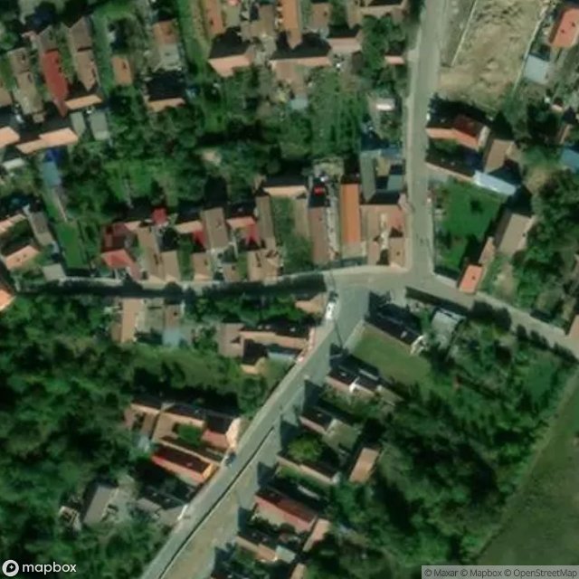
PoplacaSibiuRomania
Regular lifetime updates
Strada Mestecenilor, Poplaca - Coordonnées GPS Urbex
Obtenez la coordonnée GPS exacte de ce lieu abandonné situé dans le département Poplaca (Sibiu, Romania). Spot urbex vérifié et géolocalisé.
Poplaca (German: Gunzendorf; Hungarian: Popláka) is a commune in Sibiu County, Transylvania, Romania, at the foothills of the Cindrel Mountains, 12 km south-west of the county capital Sibiu, in the Mărginimea Sibiului ethnographic area. It is composed of a single village, Poplaca.
0,90EUR
Paiement unique - accès à vie
100% Secure Checkout
AMEX
Google Pay
stripe
SSL encrypted · No banking data stored
Ce qui est inclus
- Coordonnée GPS exacte
- Photo satellite du spot
- Accès immédiat après achat