Belokholunitskiy Rayon
Urbex Map Сайна Грейт-филд
Belokholunitskiy RayonKirovRussia
Regular lifetime updates
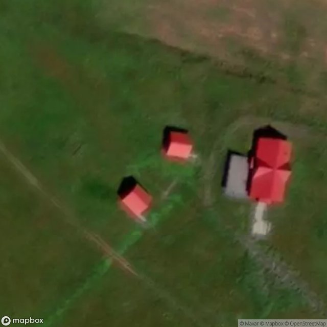
Сайна Грейт-филд - Coordonnées GPS Urbex
Obtenez la coordonnée GPS exacte de ce lieu abandonné situé dans le département Belokholunitskiy Rayon (Kirov, Russia). Spot urbex vérifié et géolocalisé.
Belaya Kholunitsa (Russian: Бе́лая Холуни́ца) is a town and the administrative center of Belokholunitsky District in Kirov Oblast, Russia, located on the river Belaya Kholunitsa (Vyatka's tributary), 82 kilometers (51 mi) northeast of Kirov, the administrative center of the oblast. Population: 11,232 (2010 census); 11,975 (2002 census); 13,367 (1989 Soviet census). It was previously known as Kholunitsky, Belokholunitsky.
0,90EUR
Paiement unique - accès à vie
100% Secure Checkout
AMEX
Google Pay
stripe
SSL encrypted · No banking data stored
Ce qui est inclus
- Coordonnée GPS exacte
- Photo satellite du spot
- Accès immédiat après achat