Cerkvenjak
Urbex Map Stanetinci
CerkvenjakPodravskaSlovenia
Regular lifetime updates
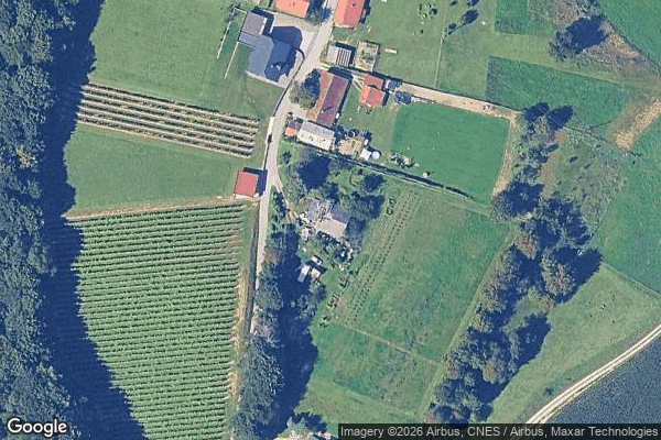
Stanetinci - Coordonnées GPS Urbex
Obtenez la coordonnée GPS exacte de ce lieu abandonné situé dans le département Cerkvenjak (Podravska, Slovenia). Spot urbex vérifié et géolocalisé.
Stanetinci (pronounced [ˈstaːnɛtintsi]) is a settlement in the Municipality of Cerkvenjak in northeastern Slovenia. It lies in the Slovene Hills (Slovene: Slovenske gorice) south of Cerkvenjak. The area is part of the traditional region of Styria and is now included in the Drava Statistical Region.
0,90EUR
Paiement unique - accès à vie
100% Secure Checkout
AMEX
Google Pay
stripe
SSL encrypted · No banking data stored
Ce qui est inclus
- Coordonnée GPS exacte
- Photo satellite du spot
- Accès immédiat après achat