Lenart
Urbex Map Ločki Vrh, Ločki vrh
LenartPodravskaSlovenia
Regular lifetime updates
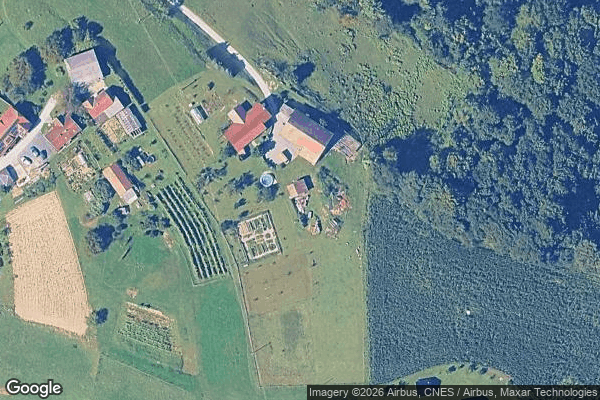
Ločki Vrh, Ločki vrh - Coordonnées GPS Urbex
Obtenez la coordonnée GPS exacte de ce lieu abandonné situé dans le département Lenart (Podravska, Slovenia). Spot urbex vérifié et géolocalisé.
Ločki Vrh (pronounced [ˈloːtʃki ˈʋəɾx]) is a small settlement in the Slovene Hills (Slovene: Slovenske gorice) in the Municipality of Benedikt in northeastern Slovenia. The area is part of the traditional region of Styria and is now included in the Drava Statistical Region. An intact Roman-period burial mound in a forest near the settlement has so far not been excavated.
0,90EUR
Paiement unique - accès à vie
100% Secure Checkout
AMEX
Google Pay
stripe
SSL encrypted · No banking data stored
Ce qui est inclus
- Coordonnée GPS exacte
- Photo satellite du spot
- Accès immédiat après achat