Gornja Radgona
Urbex Map Stavešinci
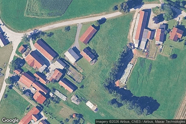
Gornja RadgonaPomurskaSlovenia
Regular lifetime updates
Stavešinci - Coordonnées GPS Urbex
Obtenez la coordonnée GPS exacte de ce lieu abandonné situé dans le département Gornja Radgona (Pomurska, Slovenia). Spot urbex vérifié et géolocalisé.
Stavešinci (pronounced [ˈstaːʋɛʃintsi], in older sources also Stavenci, German: Pfefferdorf) is a small village in the Ščavnica Valley in the Municipality of Gornja Radgona in northeastern Slovenia. There is a small chapel-shrine with an onion-domed belfry just north of the main settlement. It was built in 1922.
0,90EUR
Paiement unique - accès à vie
100% Secure Checkout
AMEX
Google Pay
stripe
SSL encrypted · No banking data stored
Ce qui est inclus
- Coordonnée GPS exacte
- Photo satellite du spot
- Accès immédiat après achat