Gornja Radgona
Urbex Map Mapped In The Static
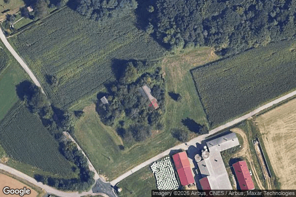
Gornja RadgonaPomurskaSlovenia
Regular lifetime updates
Mapped In The Static - Coordonnées GPS Urbex
Obtenez la coordonnée GPS exacte de ce lieu abandonné situé dans le département Gornja Radgona (Pomurska, Slovenia). Spot urbex vérifié et géolocalisé.
Zagajski Vrh (pronounced [zaˈɡaːi̯ski ˈʋəɾx]) is a settlement in the Municipality of Gornja Radgona in northeastern Slovenia. There are three small chapel-shrines in the village, each bearing its own belfry and all dating to the early 20th century.
0,90EUR
Paiement unique - accès à vie
100% Secure Checkout
AMEX
Google Pay
stripe
SSL encrypted · No banking data stored
Ce qui est inclus
- Coordonnée GPS exacte
- Photo satellite du spot
- Accès immédiat après achat