Lendava
Urbex Map Mačkovci, Mala Polana
LendavaPomurskaSlovenia
Regular lifetime updates
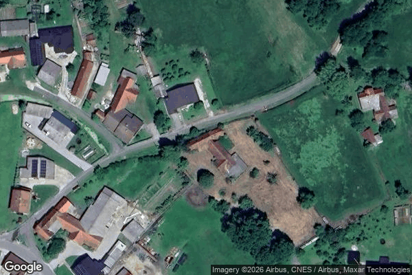
Mačkovci, Mala Polana - Coordonnées GPS Urbex
Obtenez la coordonnée GPS exacte de ce lieu abandonné situé dans le département Lendava (Pomurska, Slovenia). Spot urbex vérifié et géolocalisé.
Mala Polana (pronounced [ˈmaːla ˈpoːlana]; Hungarian: Kispalina) is a village northeast of Velika Polana in the Prekmurje region of Slovenia. Črnec Creek, a tributary of the Ledava, flows past the settlement.
0,90EUR
Paiement unique - accès à vie
100% Secure Checkout
AMEX
Google Pay
stripe
SSL encrypted · No banking data stored
Ce qui est inclus
- Coordonnée GPS exacte
- Photo satellite du spot
- Accès immédiat après achat