Olten
Urbex Map Allerheiligenberg, Hägendorf
OltenSolothurnSwitzerland
Regular lifetime updates
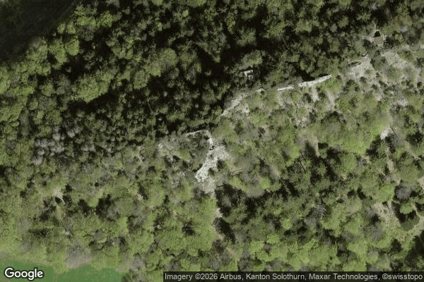
Allerheiligenberg, Hägendorf - Coordonnées GPS Urbex
Obtenez la coordonnée GPS exacte de ce lieu abandonné situé dans le département Olten (Solothurn, Switzerland). Spot urbex vérifié et géolocalisé.
The Ruchen is a mountain of the Jura, located on the border between the Swiss cantons of Basel-Landschaft and Solothurn. It lies between Langenbruck and Eptingen. The Ruchen is the easternmost summit above 1,100 metres in the Jura Mountains.
0,90EUR
Paiement unique - accès à vie
100% Secure Checkout
AMEX
Google Pay
stripe
SSL encrypted · No banking data stored
Ce qui est inclus
- Coordonnée GPS exacte
- Photo satellite du spot
- Accès immédiat après achat