Urbex Map Katsiveli
Regular lifetime updates
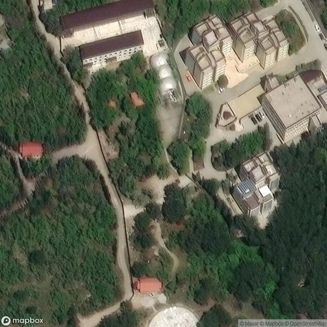
Katsiveli - Coordonnées GPS Urbex
Obtenez la coordonnée GPS exacte de ce lieu abandonné situé dans le département Ialtyns Ka (Crimea, Ukraine). Spot urbex vérifié et géolocalisé.
Katsiveli (Ukrainian: Кацівелі; Russian: Кацивели; Crimean Tatar: Katsiveli, Greek: Κατσιβέλι) is an urban-type settlement in the Yalta Municipality of the Autonomous Republic of Crimea, a territory recognized by a majority of countries as part of Ukraine and illegally annexed by Russia as the Republic of Crimea. Katsiveli is located on Crimea's southern shore at an elevation of 68 metres (223 ft). The settlement is located 2.5 km (1.6 mi) west from the town of Simeiz, which it is administrative
Paiement unique - accès à vie
100% Secure Checkout
SSL encrypted · No banking data stored
Ce qui est inclus
- Coordonnée GPS exacte
- Photo satellite du spot
- Accès immédiat après achat