Blackburn With Darwen
Urbex Map Fox Hill Farm
Blackburn With DarwenEnglandUnited Kingdom
Regular lifetime updates
- Farms
Fox Hill Farm - Coordonnées GPS Urbex
Obtenez la coordonnée GPS exacte de ce lieu abandonné situé dans le département Blackburn With Darwen (England, United Kingdom). Spot urbex vérifié et géolocalisé.
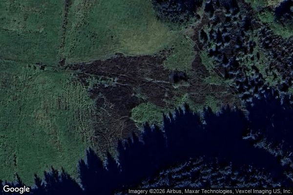
Yarnsdale is a dale or valley in Lancashire. The name is derived from the heron or hern. It contains a small sandstone quarry, also known as Cadshaw Quarry at grid reference 706.178, situated to the north west of Turton and Entwistle Reservoir in the borough of Blackburn with Darwen.
0,90EUR
Paiement unique - accès à vie
100% Secure Checkout
AMEX
Google Pay
stripe
SSL encrypted · No banking data stored
Ce qui est inclus
- Coordonnée GPS exacte
- Photo satellite du spot
- Accès immédiat après achat