Bury
Urbex Map Blue Route, Prestwich
BuryEnglandUnited Kingdom
Regular lifetime updates
Blue Route, Prestwich - Coordonnées GPS Urbex
Obtenez la coordonnée GPS exacte de ce lieu abandonné situé dans le département Bury (England, United Kingdom). Spot urbex vérifié et géolocalisé.
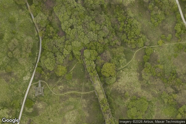
Clifton Aqueduct, built in 1796, carried the Manchester, Bolton and Bury Canal across the River Irwell in Clifton, near Manchester, England. It is preserved as a Grade II listed structure. The aqueduct is constructed of dressed stone with brick arches.
0,90EUR
Paiement unique - accès à vie
100% Secure Checkout
AMEX
Google Pay
stripe
SSL encrypted · No banking data stored
Ce qui est inclus
- Coordonnée GPS exacte
- Photo satellite du spot
- Accès immédiat après achat