Mapa Urbex Central Bedfordshire
21 lugares abandonados en Central Bedfordshire

21
spots
Pago único - acceso de por vida
Pago 100% seguro
Conexión SSL cifrada · Sin datos bancarios almacenados
Actualizaciones de por vida
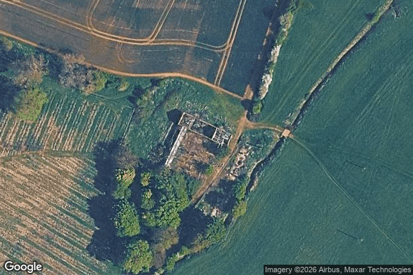
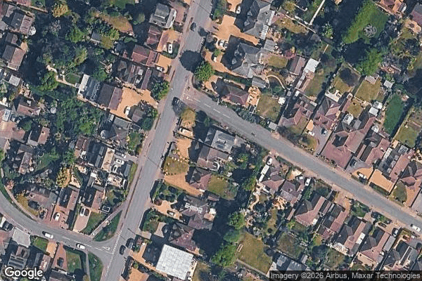
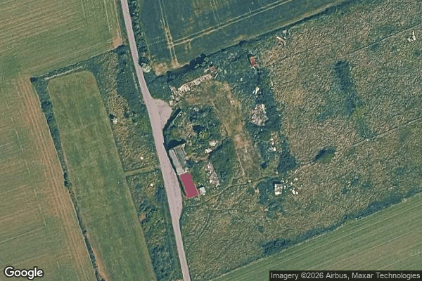
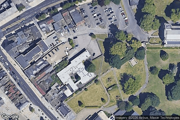
Todos los lugares abandonados de Central Bedfordshire
21 coordenadas GPS verificadas en el departamento de Central Bedfordshire, England, Reino Unido.
Buscas lugares abandonados en Central Bedfordshire, England, Reino Unido? Urbex Maps ofrece 21 coordenadas GPS verificadas de edificios abandonados en esta zona, incluyendo .
21
spots verificados
GPS
Google Maps, Waze
julio de 2026
ultima actualizacion
Donde encontrar lugares abandonados en Central Bedfordshire?
Los lugares abandonados en Central Bedfordshire se encuentran mejor a traves del mapa urbex interactivo de Urbex Maps con 21 coordenadas GPS verificadas.
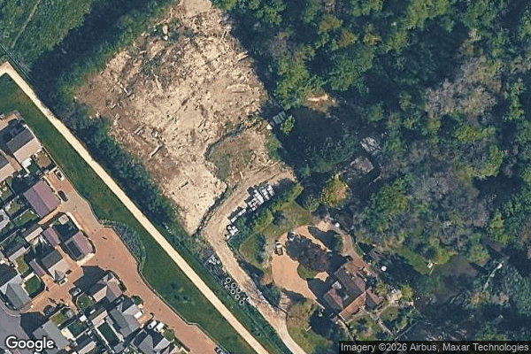
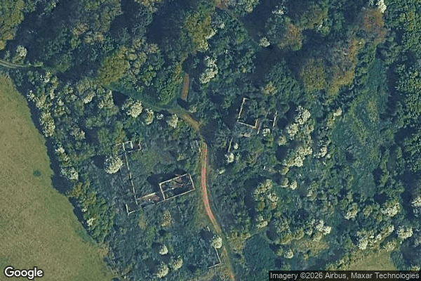
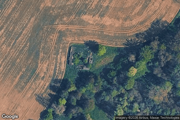
Spots en Central Bedfordshire

A4146, Leighton Buzzard
A5130, Woburn
Ampthill
Biggleswade Green Ring, Biggleswade
Dunstable

Greensands Ridge Walk, Clophill

Hitchin Road, Arlesey

Houghton Regis

Leighton Road, Stanbridge
Lower Caldecote, Upper Caldecote
Old Warden Tunnel, Old Warden
Shadows of the Imported Grid

Shadows of the Vector
Silsoe

Some rusy sheds

The Jitty, Aspley Guise
Thorn, Houghton Regis

Trace of the Silent Vector

Traces of Mapped Silence
Traces of the Grid
Tyrrells End, Eversholt