Mapa Urbex Cheshire East
14 lugares abandonados en Cheshire East

14
spots
Pago único - acceso de por vida
Pago 100% seguro
Conexión SSL cifrada · Sin datos bancarios almacenados
Actualizaciones de por vida
Temas incluidos en este pack
- Bunkers
Todos los lugares abandonados de Cheshire East
14 coordenadas GPS verificadas en el departamento de Cheshire East, England, Reino Unido.
Buscas lugares abandonados en Cheshire East, England, Reino Unido? Urbex Maps ofrece 14 coordenadas GPS verificadas de edificios abandonados en esta zona, incluyendo Bunkers.
14
spots verificados
GPS
Google Maps, Waze
julio de 2026
ultima actualizacion
Donde encontrar lugares abandonados en Cheshire East?
Los lugares abandonados en Cheshire East se encuentran mejor a traves del mapa urbex interactivo de Urbex Maps con 14 coordenadas GPS verificadas.
Tipos de lugares abandonados en Cheshire East
- Bunkers
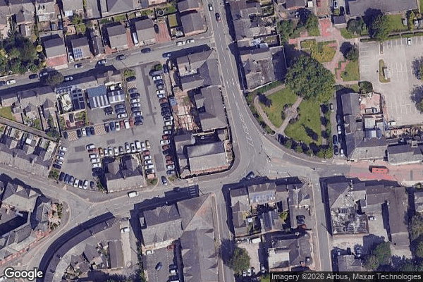
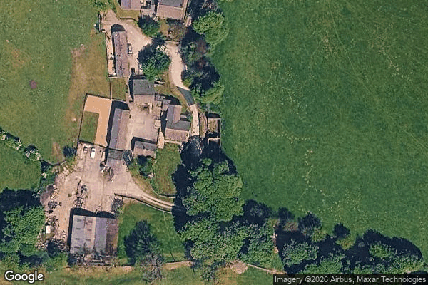
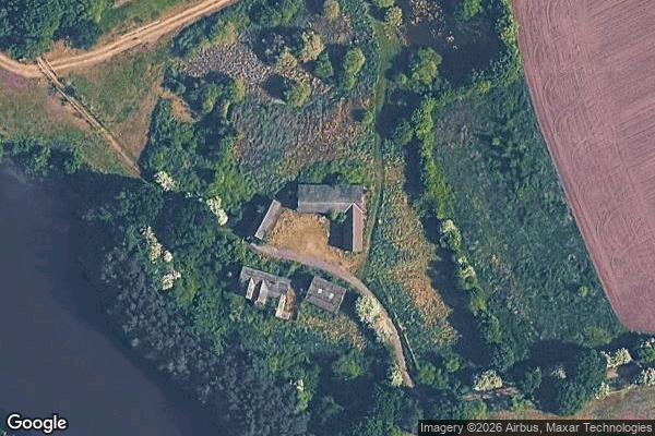
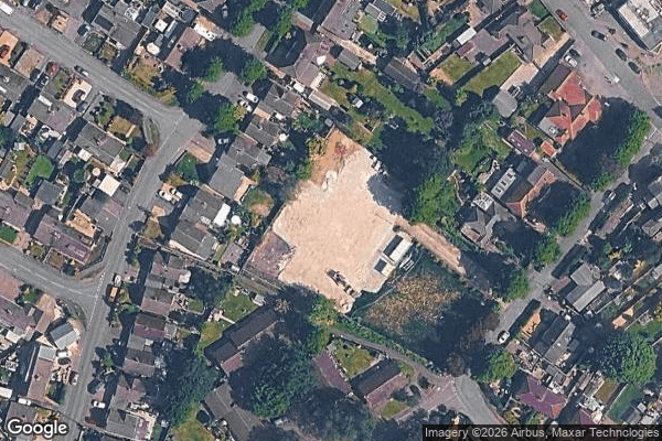
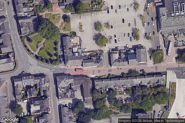
Spots en Cheshire East
Abandoned 13 story office building Crewe
Alsager
Bradfield Green
Bramhall
Flag Lane, Crewe
Hack Green Secret Nuclear Bunker

Naggs Head Pub Altrincham

Old victorian baths
Pott Shrigley
Poynton ROC Post
Siddington
The Limes
The Victoria

Whitchurch Road