Cornwall
Mapa Urbex Cornwall Council Carrick House
CornwallEnglandReino Unido
Actualizaciones de por vida
- Casas abandonadas
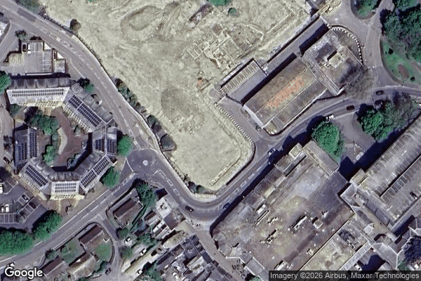
Cornwall Council Carrick House - Coordonnées GPS Urbex
Obtenez la coordonnée GPS exacte de ce lieu abandonné situé dans le département Cornwall (England, Reino Unido). Spot urbex vérifié et géolocalisé.
Carrick (Cornish: Karrek) was a local government district in Cornwall, England, United Kingdom. Its district council was based in Truro. The main centres of population, industry and commerce were the city of Truro and the towns of Falmouth/Penryn.
0,90EUR
Paiement unique - accès à vie
Pago 100% seguro
AMEX
Google Pay
stripe
Conexión SSL cifrada · Sin datos bancarios almacenados
Ce qui est inclus
- Coordonnée GPS exacte
- Photo satellite du spot
- Accès immédiat après achat