East Sussex
Urbex Map Hodsons Mill
East SussexEnglandUnited Kingdom
Regular lifetime updates
- Mills
- Abandoned factories
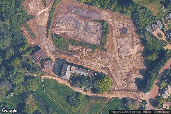
Hodsons Mill - Coordonnées GPS Urbex
Obtenez la coordonnée GPS exacte de ce lieu abandonné situé dans le département East Sussex (England, United Kingdom). Spot urbex vérifié et géolocalisé.
Robertsbridge is a village in the civil parish of Salehurst and Robertsbridge, and the Rother district of East Sussex, England. It is approximately 10 miles (16 km) north of Hastings and 13 miles (21 km) south-east of Royal Tunbridge Wells. The River Rother passes through the village.
0,90EUR
Paiement unique - accès à vie
100% Secure Checkout
AMEX
Google Pay
stripe
SSL encrypted · No banking data stored
Ce qui est inclus
- Coordonnée GPS exacte
- Photo satellite du spot
- Accès immédiat après achat