Essex
Urbex Map Goldsands Road, Southminster
EssexEnglandUnited Kingdom
Regular lifetime updates
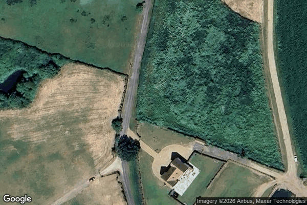
Goldsands Road, Southminster - Coordonnées GPS Urbex
Obtenez la coordonnée GPS exacte de ce lieu abandonné situé dans le département Essex (England, United Kingdom). Spot urbex vérifié et géolocalisé.
Southminster railway station is the eastern terminus of the Crouch Valley Line in Essex, England; it serves the town of Southminster and other settlements on the Dengie Peninsula. It is 45 miles 42 chains (73.27 km) down the line from London Liverpool Street. The station is managed by Greater Anglia, which operates all services.
0,90EUR
Paiement unique - accès à vie
100% Secure Checkout
AMEX
Google Pay
stripe
SSL encrypted · No banking data stored
Ce qui est inclus
- Coordonnée GPS exacte
- Photo satellite du spot
- Accès immédiat après achat