Greater London
Urbex Map Sebert Road, Greater London
Greater LondonEnglandUnited Kingdom
Regular lifetime updates
Sebert Road, Greater London - Coordonnées GPS Urbex
Obtenez la coordonnée GPS exacte de ce lieu abandonné situé dans le département Greater London (England, United Kingdom). Spot urbex vérifié et géolocalisé.
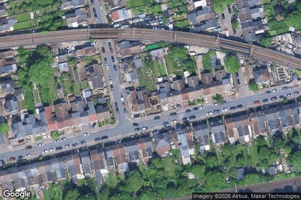
Forest Gate is a sub-district of West Ham in the London Borough of Newham, East London, England. It is located 7 miles (11 km) northeast of Charing Cross. The area's name relates to its position adjacent to Wanstead Flats, the southernmost part of Epping Forest.
0,90EUR
Paiement unique - accès à vie
100% Secure Checkout
AMEX
Google Pay
stripe
SSL encrypted · No banking data stored
Ce qui est inclus
- Coordonnée GPS exacte
- Photo satellite du spot
- Accès immédiat après achat