Urbex Map Herefordshire County Of
21 abandoned places in Herefordshire County Of

21
spots
One-time payment - lifetime access
100% Secure Checkout
SSL encrypted · No banking data stored
Regular lifetime updates
Themes included in this pack
- Castles
- Abandoned houses
- Bunkers
All abandoned places in Herefordshire County Of
21 verified GPS coordinates in the department of Herefordshire County Of, England, United Kingdom.
Looking for abandoned places in Herefordshire County Of, England, United Kingdom? Urbex Maps offers 21 verified GPS coordinates of abandoned buildings in this area, including Castles, Abandoned houses, Bunkers.
21
verified spots
GPS
Google Maps, Waze
July 2026
last update
Where to find abandoned places in Herefordshire County Of?
The best way to find abandoned places in Herefordshire County Of is through the interactive urbex map on Urbex Maps with 21 verified GPS coordinates. Top categories are Castles, Abandoned houses, Bunkers.
Types of abandoned places in Herefordshire County Of
- Castles
- Abandoned houses
- Bunkers
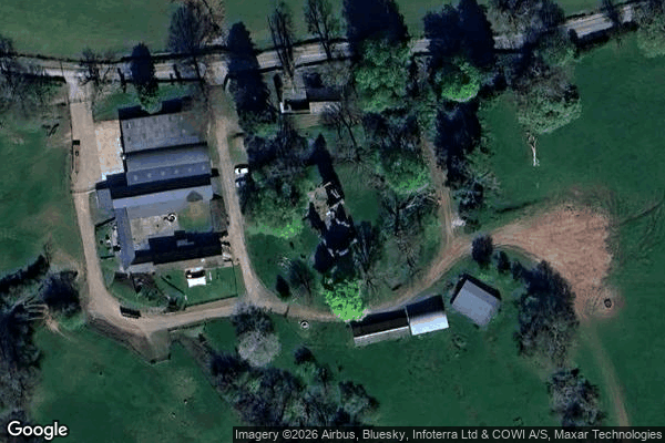
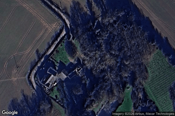
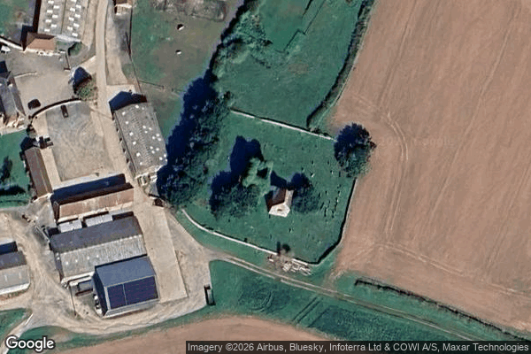
Spots in Herefordshire County Of
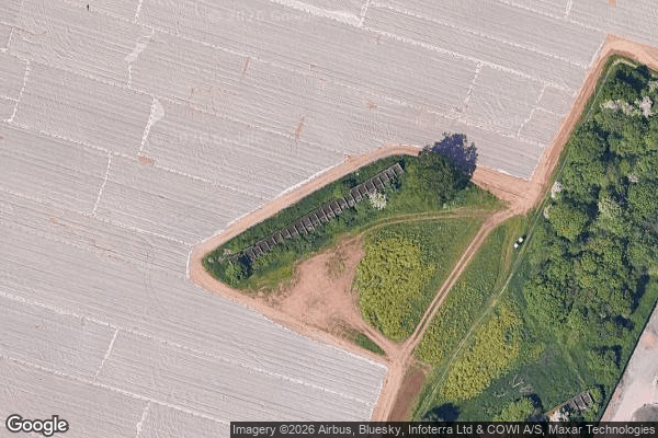
Abandoned ww2 bunker
Belmont
Brockhampton
Bronsil Castle

Church Road, Peterchurch

Colwall CofE Primary School and Nursery, Colwall Stone
Cotheridge
Craswall Priory, Dorstone
Credenhill
Former 'Scout Hut'

Gwynne Street, Hereford

Hereford Cathedral, Hereford

Hillbilly Mansion

Rodd

Sellack
Urishay Castle
Walford

Wheelbarrow Castle, Aymestrey
Whitchurch
Yazor

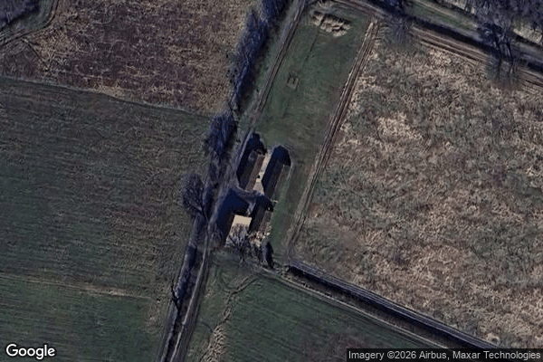
old abandoned burnt down house