Kent
Urbex Map Newington
KentEnglandUnited Kingdom
Regular lifetime updates
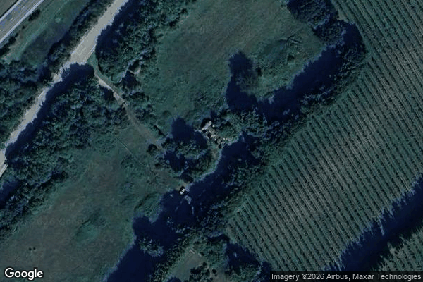
Newington - Coordonnées GPS Urbex
Obtenez la coordonnée GPS exacte de ce lieu abandonné situé dans le département Kent (England, United Kingdom). Spot urbex vérifié et géolocalisé.
Danaway is a village near the A249 road and the M2 motorway, in the Swale district, in the English county of Kent. The nearest town is Sittingbourne. It is set in the base of a valley, with the oldest houses dating from the late 19th century.
0,90EUR
Paiement unique - accès à vie
100% Secure Checkout
AMEX
Google Pay
stripe
SSL encrypted · No banking data stored
Ce qui est inclus
- Coordonnée GPS exacte
- Photo satellite du spot
- Accès immédiat après achat