Urbex Map Liverpool
35 abandoned places in Liverpool

35
spots
One-time payment - lifetime access
100% Secure Checkout
SSL encrypted · No banking data stored
Regular lifetime updates
Themes included in this pack
- Bunkers
- Military
- Ruins
- Farms
All abandoned places in Liverpool
35 verified GPS coordinates in the department of Liverpool, England, United Kingdom.
Looking for abandoned places in Liverpool, England, United Kingdom? Urbex Maps offers 35 verified GPS coordinates of abandoned buildings in this area, including Bunkers, Military, Ruins, Farms.
35
verified spots
GPS
Google Maps, Waze
July 2026
last update
Where to find abandoned places in Liverpool?
The best way to find abandoned places in Liverpool is through the interactive urbex map on Urbex Maps with 35 verified GPS coordinates. Top categories are Bunkers, Military, Ruins, Farms.
Types of abandoned places in Liverpool
- Bunkers
- Military
- Ruins
- Farms
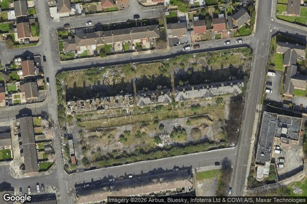
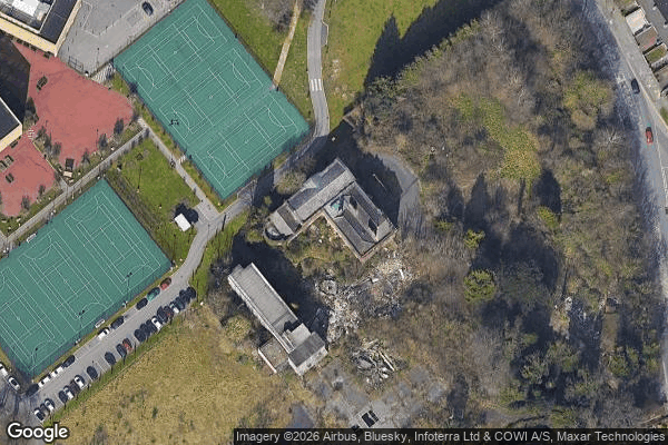
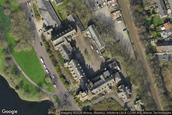
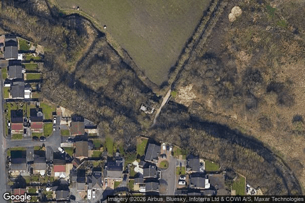
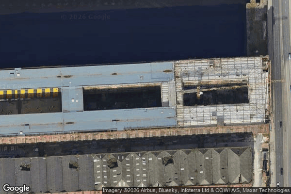
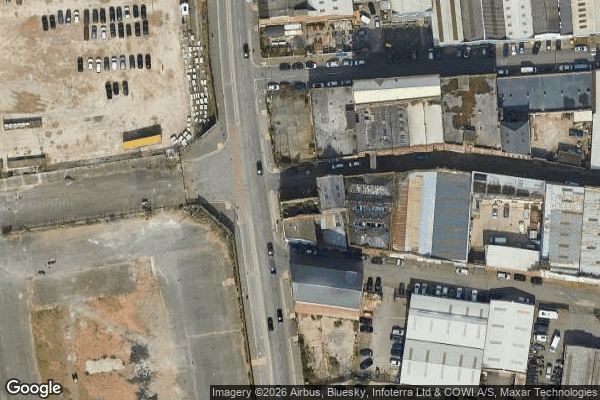
Spots in Liverpool

Bankhall Street, Liverpool
Belvedere Preparatory School, Liverpool

Cabbage Hall, Liverpool
Carnatic halls

Commercial Road, Liverpool
Cross Keys House, Moorfields
Deysbrook, Liverpool

Ducie Street, Liverpool
Eldon grove

Elliot Street, Liverpool

Former Otterspool Café, Liverpool
Freeman Mansion
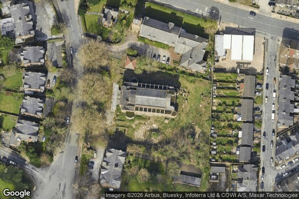
Greenbank Drive Synagogue

Holly Lodge Girls' College, Liverpool
Knowsley
L18 49, Liverpool
Mansion Welcome Paradise
Melling

New Road, Liverpool

Otterspool Road, Liverpool
Parkstile Lane, Liverpool
Royal Liverpool Seaman's Orphanage

Sandown Park, Liverpool
Stand Farm Lodge

Stanley, Liverpool

The Cottage, Liverpool

The Plotted Silence
Titanic Hotel, Liverpool
Traces in the Geometry

Traces of Mapped Silence
Traces of a Forgotten Vector
Upper Selborne Street, Liverpool
Water pump

Wavertree Green, Liverpool
Wellington Rooms, Liverpool
Urbex FAQ for Liverpool, United Kingdom
Is urban exploration legal in Liverpool, United Kingdom?+
What types of abandoned places can I find in Liverpool, United Kingdom?+
How do I use the GPS coordinates I've purchased?+
How many abandoned places are listed in Liverpool, United Kingdom?+
What's the best season for exploring in Liverpool, United Kingdom?+
What our articles say about these places
Newsham Park Hospital is the undisputed star of abandoned Liverpool: the one place where the haunted-asylum atmosphere is real, documented and, for once, accessible the honest way. The hospital is on Orphan Drive in Tuebrook, about four kilometres north east of the city centre.Read the article : Abandoned Places in Liverpool: 4 Derelict Sites →
