Manchester
Urbex Map Traces of the Rendered Void
ManchesterEnglandUnited Kingdom
Regular lifetime updates
Traces of the Rendered Void - Coordonnées GPS Urbex
Obtenez la coordonnée GPS exacte de ce lieu abandonné situé dans le département Manchester (England, United Kingdom). Spot urbex vérifié et géolocalisé.
The 1830 warehouse, Liverpool Road, Manchester, England, is a 19th-century warehouse that forms part of the Liverpool Road railway station complex. It was built in five months between April and September 1830, "almost certainly [to the designs of] the Liverpool architect Thomas Haigh". The heritage listing report attributes the work to George Stephenson and his son, Robert.
0,90EUR
Paiement unique - accès à vie
100% Secure Checkout
AMEX
Google Pay
stripe
SSL encrypted · No banking data stored
Ce qui est inclus
- Coordonnée GPS exacte
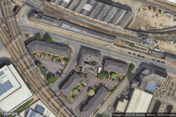
- Photo satellite du spot
- Accès immédiat après achat