Norfolk
Urbex Map Mundford
NorfolkEnglandUnited Kingdom
Regular lifetime updates
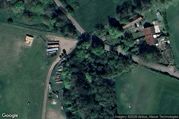
Mundford - Coordonnées GPS Urbex
Obtenez la coordonnée GPS exacte de ce lieu abandonné situé dans le département Norfolk (England, United Kingdom). Spot urbex vérifié et géolocalisé.
Oxborough is a village and civil parish in the English county of Norfolk, well known for its church and manor house Oxburgh Hall. It covers an area of 13.024 km2 (5.029 sq mi) and had a population of 240 in 106 households in the 2001 census, reducing to a population of 228 in 111 households at the 2011 Census. For the purposes of local government, it falls within the district of Breckland.
0,90EUR
Paiement unique - accès à vie
100% Secure Checkout
AMEX
Google Pay
stripe
SSL encrypted · No banking data stored
Ce qui est inclus
- Coordonnée GPS exacte
- Photo satellite du spot
- Accès immédiat après achat