Mappa Urbex Oldham
18 luoghi abbandonati a Oldham

18
luoghi
Pagamento unico - accesso a vita
Pagamento 100% sicuro
Connessione SSL crittografata · Nessun dato bancario memorizzato
Aggiornamenti a vita
Temi inclusi in questo pacchetto
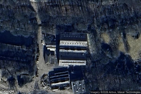
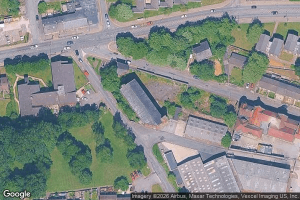
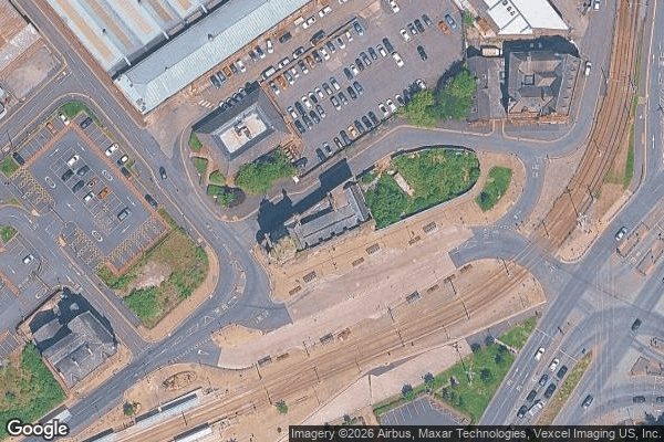
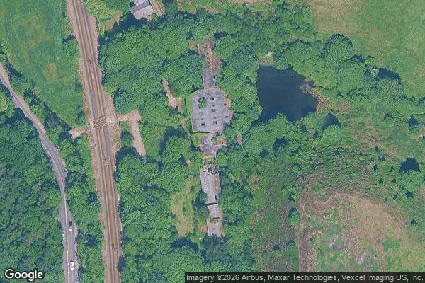
- Hotel abbandonati
Tutti i luoghi abbandonati di Oldham
18 coordinate GPS verificate nel dipartimento di Oldham, England, Regno Unito.
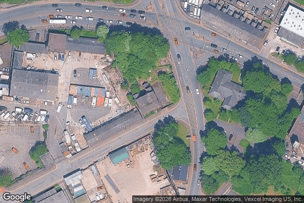
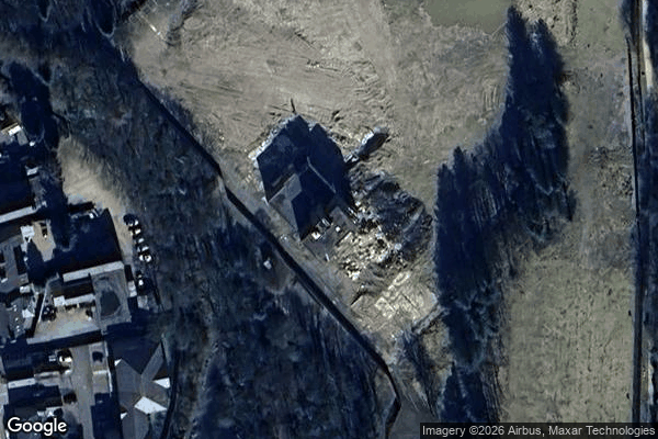
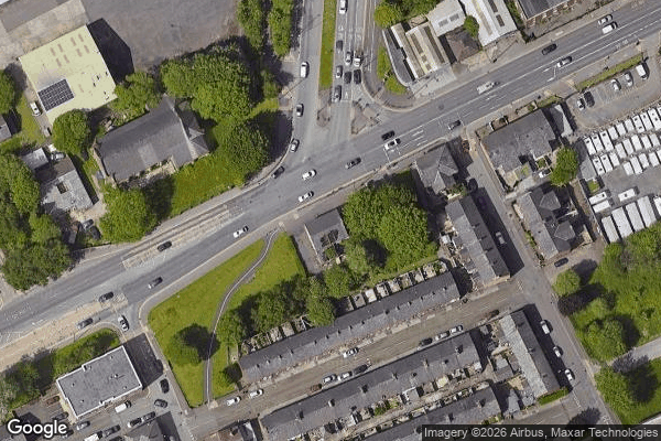
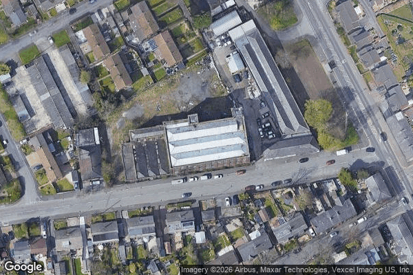
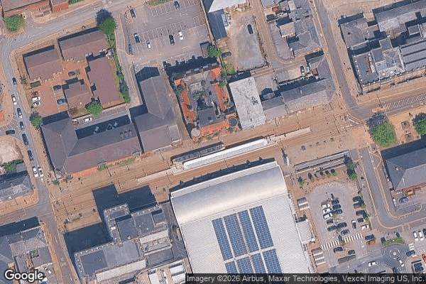
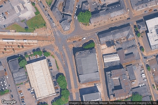
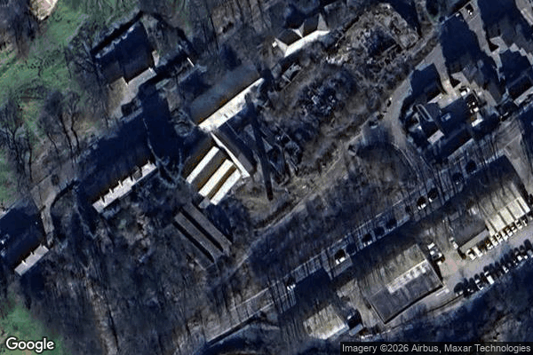
Cerchi luoghi abbandonati a Oldham, England, Regno Unito? Urbex Maps offre 18 coordinate GPS verificate di edifici abbandonati in questa zona, tra cui Hotel abbandonati.
18
spot verificati
GPS
Google Maps, Waze
luglio 2026
ultimo aggiornamento
Dove trovare luoghi abbandonati a Oldham?
I luoghi abbandonati a Oldham si trovano tramite la mappa urbex interattiva di Urbex Maps con 18 coordinate GPS verificate. Le categorie principali sono Hotel abbandonati.
Tipi di luoghi abbandonati a Oldham
- Hotel abbandonati
Spots a Oldham
Bank Lane, Greenfield
Brideoake Street, Lees

Castleshaw, Diggle

Diggle

Echoes of Imported Stillness
Royton

School Drive, Uppermill
Shaw

Slack Gate Lane, Denshaw
The Coordinates Of Silence
The Geometry of Silence

The Phantom Data Point
The Silent Vector Point
Traces Within the Grid
Traces of the Imported Void
Union Street, Chadderton
Wall Hill, New Delph

Wellington Road, Greenfield