Portsmouth
Urbex Map Ferry Road, West Town
PortsmouthEnglandUnited Kingdom
Regular lifetime updates
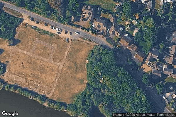
Ferry Road, West Town - Coordonnées GPS Urbex
Obtenez la coordonnée GPS exacte de ce lieu abandonné situé dans le département Portsmouth (England, United Kingdom). Spot urbex vérifié et géolocalisé.
World War II Heavy Anti-aircraft gunsite (P2) at Sinah Common, 570m south east of Sinah Farm (forts)
0,90EUR
Paiement unique - accès à vie
100% Secure Checkout
AMEX
Google Pay
stripe
SSL encrypted · No banking data stored
Ce qui est inclus
- Coordonnée GPS exacte
- Photo satellite du spot
- Accès immédiat après achat