Mappa Urbex Rochdale
49 luoghi abbandonati a Rochdale

49
luoghi
Pagamento unico - accesso a vita
Pagamento 100% sicuro
Connessione SSL crittografata · Nessun dato bancario memorizzato
Aggiornamenti a vita
Temi inclusi in questo pacchetto
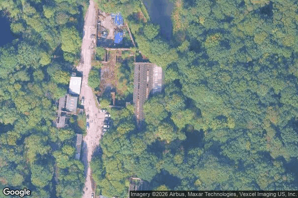
- Fabbriche abbandonate
- Mulini
Tutti i luoghi abbandonati di Rochdale
49 coordinate GPS verificate nel dipartimento di Rochdale, England, Regno Unito.
Cerchi luoghi abbandonati a Rochdale, England, Regno Unito? Urbex Maps offre 49 coordinate GPS verificate di edifici abbandonati in questa zona, tra cui Fabbriche abbandonate, Mulini.
49
spot verificati
GPS
Google Maps, Waze
luglio 2026
ultimo aggiornamento
Dove trovare luoghi abbandonati a Rochdale?
I luoghi abbandonati a Rochdale si trovano tramite la mappa urbex interattiva di Urbex Maps con 49 coordinate GPS verificate. Le categorie principali sono Fabbriche abbandonate, Mulini.
Tipi di luoghi abbandonati a Rochdale
- Fabbriche abbandonate
- Mulini
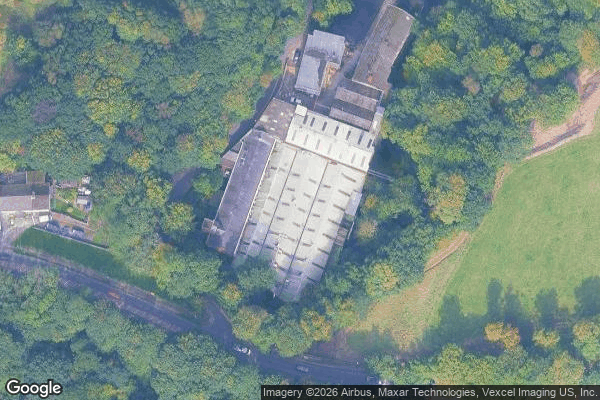
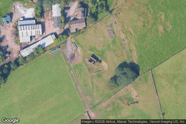
Spots a Rochdale
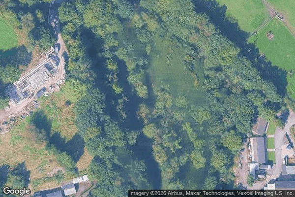
Ashworth Mill
Ashworth Road, Heywood

Bell Street, Rochdale
Birtle Dean Mills

Carr Lane, Newhey
Carr Lane, Newhey

Castleway, Castleton
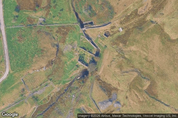
Cheesden Lumb Mill
Cheesden Mill

Entwisle Road, Milnrow

Haugh Square, Newhey
Healey Hall Mill

Heywood
Heywood
Imported Shadows in Code
Littleborough

M62, Newhey

Market Place, Heywood

Market Place, Middleton
Middleton

Railway Street, Littleborough
Rakewood, Littleborough
Rectory Street, Middleton
Rochdale
Rossendale

Rossendale

Rossendale

Rossendale
Saint John of the damned
Shadows of the Imported Grid

Shards of the Imported Grid
Syke Road, Littleborough

The Geometry of Silence
The Geometry of Silence
The Ice Cream Shop at Lodge, Middleton
The Imported Void
Thornham New Road, Castleton
Traces of the Silent Grid

Tunshill Lane, Littleborough
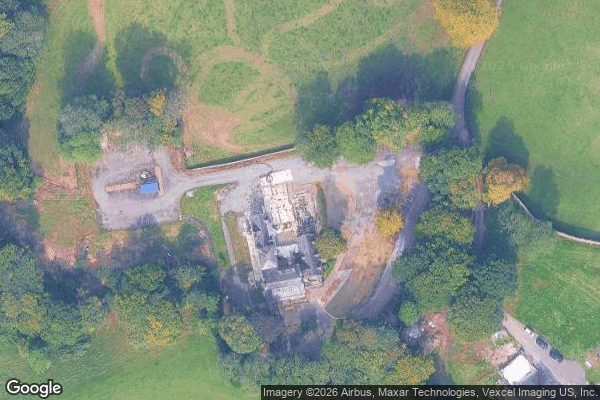
Wheatsheaf Shopping Centre, Rochdale

Whitworth

Whitworth

Whitworth

Whitworth

Whitworth

Whitworth
Whitworth

Whitworth

Whitworth
FAQ urbex in Rochdale, Regno Unito
L'esplorazione urbana è legale in Rochdale, Regno Unito?+
Che tipi di luoghi abbandonati si trovano in Rochdale, Regno Unito?+
Come usare le coordinate GPS acquistate?+
Quanti luoghi abbandonati sono elencati in Rochdale, Regno Unito?+
Qual è la stagione migliore per esplorare in Rochdale, Regno Unito?+
Cosa dicono i nostri articoli su questi luoghi
The centre is still standing in 2026 , but change is coming: plans approved by Rochdale Council will turn the upper floors, where the library once sat, into banqueting and events halls, so the dead-mall atmosphere has a shelf life. It is private property and not open to the public; access is not authorised. Risks ar…Leggi l'articolo : Abandoned Places in Manchester: 5 Derelict Sites →
