Salford
Urbex Map Coordinates Of The Silent Grid
SalfordEnglandUnited Kingdom
Regular lifetime updates
Coordinates Of The Silent Grid - Coordonnées GPS Urbex
Obtenez la coordonnée GPS exacte de ce lieu abandonné situé dans le département Salford (England, United Kingdom). Spot urbex vérifié et géolocalisé.
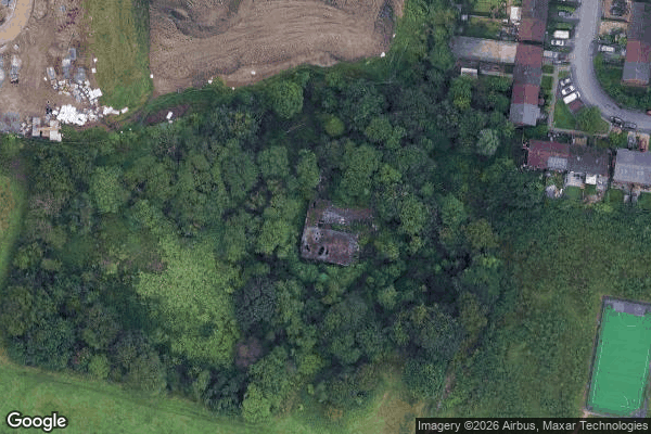
Former coal mine. In use 1879-c1964. https://www.nmrs.org.uk/mines-map/coal-mining-in-the-british-isles/lancashire-coalfield/bolton-bury-coalfield/brackley-colliery-1879-1929/
0,90EUR
Paiement unique - accès à vie
100% Secure Checkout
AMEX
Google Pay
stripe
SSL encrypted · No banking data stored
Ce qui est inclus
- Coordonnée GPS exacte
- Photo satellite du spot
- Accès immédiat après achat