Somerset
Urbex Map Coastguard Lookout (ruins)
SomersetEnglandUnited Kingdom
Regular lifetime updates
Coastguard Lookout (ruins) - Coordonnées GPS Urbex
Obtenez la coordonnée GPS exacte de ce lieu abandonné situé dans le département Somerset (England, United Kingdom). Spot urbex vérifié et géolocalisé.
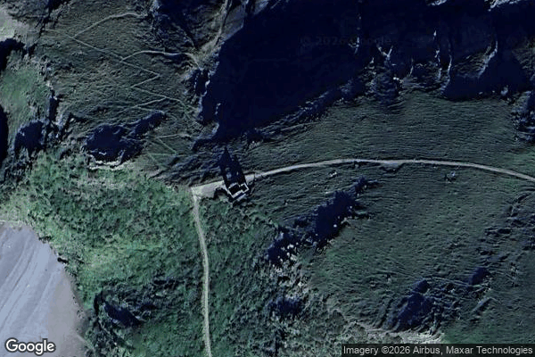
Hurlstone point (grid reference SS898492) is a promontory of land between Porlock Weir and Minehead in the Exmoor National Park on the coast of Somerset, England. Hurlstone Point marks the boundary between Porlock Bay and Blue Anchor Bay in the Bristol Channel and is on the South West Coast Path. There is a coastguard lookout shelter on the point.
0,90EUR
Paiement unique - accès à vie
100% Secure Checkout
AMEX
Google Pay
stripe
SSL encrypted · No banking data stored
Ce qui est inclus
- Coordonnée GPS exacte
- Photo satellite du spot
- Accès immédiat après achat