Staffordshire
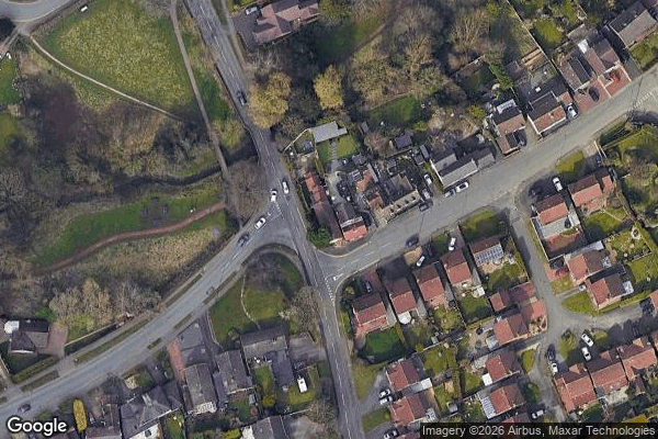
Urbex Map Rookery Road, Wombourne
StaffordshireEnglandUnited Kingdom
Regular lifetime updates
Rookery Road, Wombourne - Coordonnées GPS Urbex
Obtenez la coordonnée GPS exacte de ce lieu abandonné situé dans le département Staffordshire (England, United Kingdom). Spot urbex vérifié et géolocalisé.
The Wom Brook is a stream in South Staffordshire, England. It flows through the large village of Wombourne, and has played an important part in its industrial history. It is an important tributary of the River Smestow and part of the Severn catchment.
0,90EUR
Paiement unique - accès à vie
100% Secure Checkout
AMEX
Google Pay
stripe
SSL encrypted · No banking data stored
Ce qui est inclus
- Coordonnée GPS exacte
- Photo satellite du spot
- Accès immédiat après achat