Suffolk
Urbex Map A1152, Rendlesham
SuffolkEnglandUnited Kingdom
Regular lifetime updates
A1152, Rendlesham - Coordonnées GPS Urbex
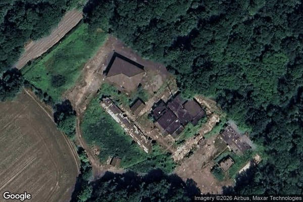
Obtenez la coordonnée GPS exacte de ce lieu abandonné situé dans le département Suffolk (England, United Kingdom). Spot urbex vérifié et géolocalisé.
Rendlesham (UK: /ˈrɛn.dəl.ʃəm/) is a village and civil parish near Woodbridge, Suffolk, United Kingdom. It was a royal centre of authority for the king of the East Angles. The proximity of the Sutton Hoo ship burial may indicate a connection between Sutton Hoo and the East Anglian royal house, the Wuffingas.
0,90EUR
Paiement unique - accès à vie
100% Secure Checkout
AMEX
Google Pay
stripe
SSL encrypted · No banking data stored
Ce qui est inclus
- Coordonnée GPS exacte
- Photo satellite du spot
- Accès immédiat après achat