Mappa Urbex Tameside
16 luoghi abbandonati a Tameside

16
luoghi
Pagamento unico - accesso a vita
Pagamento 100% sicuro
Connessione SSL crittografata · Nessun dato bancario memorizzato
Aggiornamenti a vita
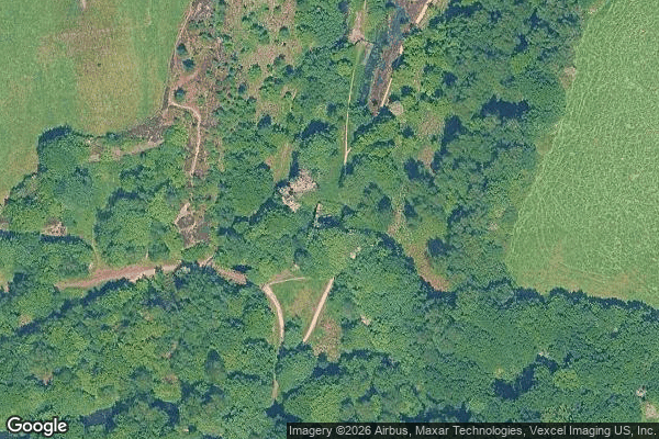
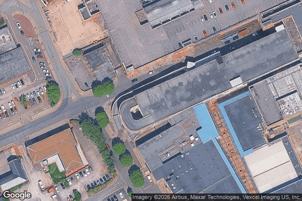
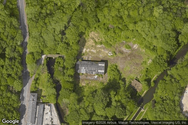
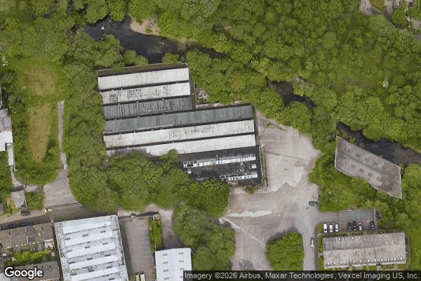
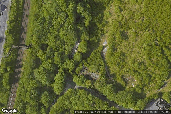
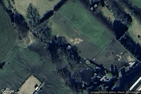
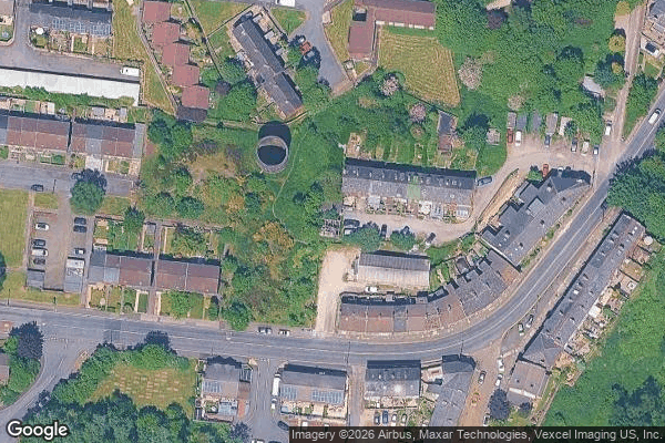
Tutti i luoghi abbandonati di Tameside
16 coordinate GPS verificate nel dipartimento di Tameside, England, Regno Unito.
Cerchi luoghi abbandonati a Tameside, England, Regno Unito? Urbex Maps offre 16 coordinate GPS verificate di edifici abbandonati in questa zona, tra cui .
16
spot verificati
GPS
Google Maps, Waze
luglio 2026
ultimo aggiornamento
Dove trovare luoghi abbandonati a Tameside?
I luoghi abbandonati a Tameside si trovano tramite la mappa urbex interattiva di Urbex Maps con 16 coordinate GPS verificate. Le categorie principali sono .
Spots a Tameside
Ashton-under-Lyne

Cocker Hill, Stalybridge

Dukinfield
Gas Street, Ashton-under-Lyne
Longdendale
Manchester Road, Micklehurst

Millbrook Primary School, Stalybridge

Mossley
Mossley Cross, Micklehurst
Springbank Lane, Millbrook

Stamford Street, Stalybridge

Texas Street, Dukinfield
The Plotted Silence

The Plotted Void
Traced in Digital Dust

Traces of the Plotted Void