Urbex Map Trafford
24 abandoned places in Trafford

24
spots
One-time payment - lifetime access
100% Secure Checkout
SSL encrypted · No banking data stored
Regular lifetime updates
Themes included in this pack
- Farms
- Bunkers
- Churches
All abandoned places in Trafford
24 verified GPS coordinates in the department of Trafford, England, United Kingdom.
Looking for abandoned places in Trafford, England, United Kingdom? Urbex Maps offers 24 verified GPS coordinates of abandoned buildings in this area, including Farms, Bunkers, Churches.
24
verified spots
GPS
Google Maps, Waze
July 2026
last update
Where to find abandoned places in Trafford?
The best way to find abandoned places in Trafford is through the interactive urbex map on Urbex Maps with 24 verified GPS coordinates. Top categories are Farms, Bunkers, Churches.
Types of abandoned places in Trafford
- Farms
- Bunkers
- Churches
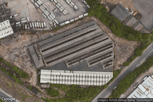
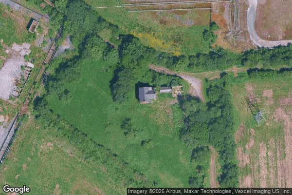
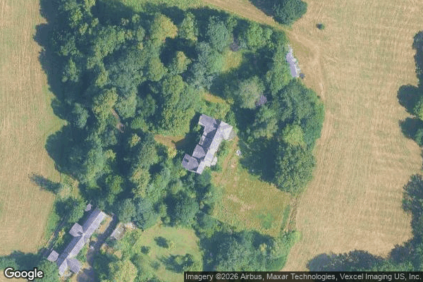
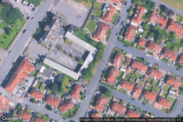
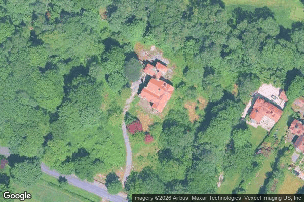
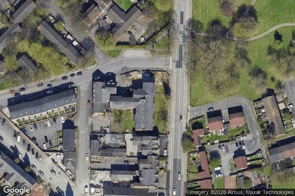
Spots in Trafford
Altrincham
Angel Farm
Ashton Road, Carrington
Bowdon

Chapel Place, Trafford
Dane Road, Sale
Eccles

Enterprise, Carrington

Hulme
Merwell Road, Flixton

Mortuary Chapel, Stretford
Mosley Close, West Timperley
Nash Road, Trafford
Partington
Priory Street, Altrincham
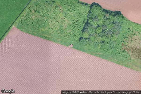
RAF Broadheath pillbox
The Geometry of Secrets
Traced in Digital Silence

Traces of the Grid
Traces of the Unmapped
Urmston
Vertices of the Silence
Watling Gate

Yulan Drive, Urmston