Urbex Map Warrington
21 abandoned places in Warrington

21
spots
One-time payment - lifetime access
100% Secure Checkout
SSL encrypted · No banking data stored
Regular lifetime updates
Themes included in this pack
- Abandoned houses
- Farms
All abandoned places in Warrington
21 verified GPS coordinates in the department of Warrington, England, United Kingdom.
Looking for abandoned places in Warrington, England, United Kingdom? Urbex Maps offers 21 verified GPS coordinates of abandoned buildings in this area, including Abandoned houses, Farms.
21
verified spots
GPS
Google Maps, Waze
July 2026
last update
Where to find abandoned places in Warrington?
The best way to find abandoned places in Warrington is through the interactive urbex map on Urbex Maps with 21 verified GPS coordinates. Top categories are Abandoned houses, Farms.
Types of abandoned places in Warrington
- Abandoned houses
- Farms
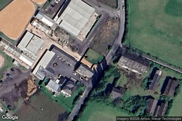
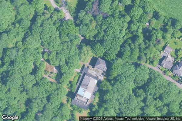
Spots in Warrington
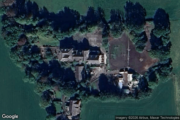
Abandoned care home
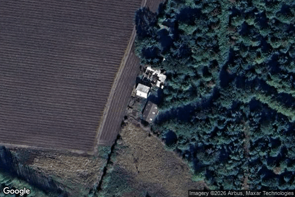
Abandoned house/Farm
Burtonwood

Church Lane

Croft
HMS Gosling Camp 5
House Tiffany

Phoenix Hide
Religion Coffee
TJ Hughes

The Geometry of Silence
The Red Lion

Warrington

Warrington

Warrington

Warrington

Warrington

Warrington

Warrington

Winwick
services building