Mappa Urbex Wigan
23 luoghi abbandonati a Wigan

23
luoghi
Pagamento unico - accesso a vita
Pagamento 100% sicuro
Connessione SSL crittografata · Nessun dato bancario memorizzato
Aggiornamenti a vita
Temi inclusi in questo pacchetto
- Chiese
- Case abbandonate
- Hotel abbandonati
- Fattorie
- Rovine
Tutti i luoghi abbandonati di Wigan
23 coordinate GPS verificate nel dipartimento di Wigan, England, Regno Unito.
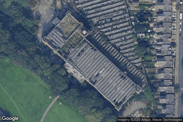
Cerchi luoghi abbandonati a Wigan, England, Regno Unito? Urbex Maps offre 23 coordinate GPS verificate di edifici abbandonati in questa zona, tra cui Chiese, Case abbandonate, Hotel abbandonati, Fattorie, Rovine.
23
spot verificati
GPS
Google Maps, Waze
luglio 2026
ultimo aggiornamento
Dove trovare luoghi abbandonati a Wigan?
I luoghi abbandonati a Wigan si trovano tramite la mappa urbex interattiva di Urbex Maps con 23 coordinate GPS verificate. Le categorie principali sono Chiese, Case abbandonate, Hotel abbandonati, Fattorie, Rovine.
Tipi di luoghi abbandonati a Wigan
- Chiese
- Case abbandonate
- Hotel abbandonati
- Fattorie
- Rovine
Spots a Wigan

Ashton in Makerfield
Caroline Street, Wigan

Church of the Apostles

Collard Street, Hag Fold
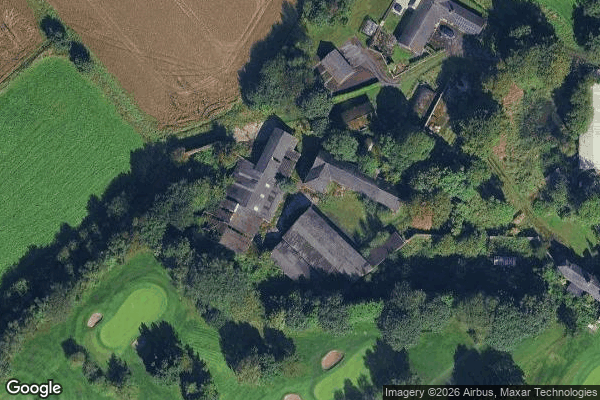
Farm Golf club

Hindley
Hough Lane, Astley
House Pepper
Imported From Invisible Grids
Leigh Road, Howe Bridge

Ormskirk Road, Wigan
Parr Bridge, Astley

Poolstock, Wigan

Poolstock, Wigan

Scholes Village, Hindley
Shadows of the Mapped Void

Site of Abram UDC Sewage Works

South Avenue, Golborne

Templeton Road, Platt Bridge
The Geometry of Absence
Vector into the Void

Warrington Road, Abram

West Wood Hall (site of), Wigan