Urbex Map Wirral
17 abandoned places in Wirral

17
spots
One-time payment - lifetime access
100% Secure Checkout
SSL encrypted · No banking data stored
Regular lifetime updates
Themes included in this pack
- Ruins
All abandoned places in Wirral
17 verified GPS coordinates in the department of Wirral, England, United Kingdom.
Looking for abandoned places in Wirral, England, United Kingdom? Urbex Maps offers 17 verified GPS coordinates of abandoned buildings in this area, including Ruins.
17
verified spots
GPS
Google Maps, Waze
July 2026
last update
Where to find abandoned places in Wirral?
The best way to find abandoned places in Wirral is through the interactive urbex map on Urbex Maps with 17 verified GPS coordinates. Top categories are Ruins.
Types of abandoned places in Wirral
- Ruins
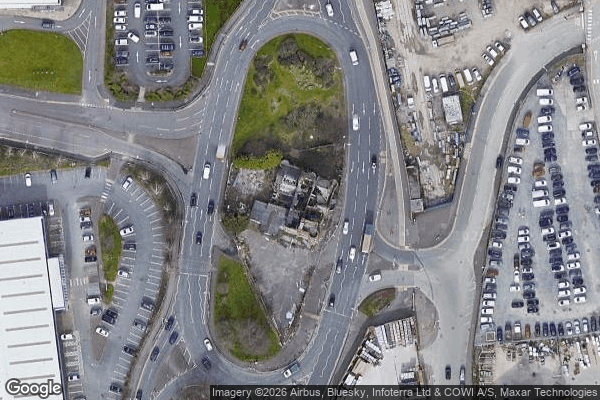
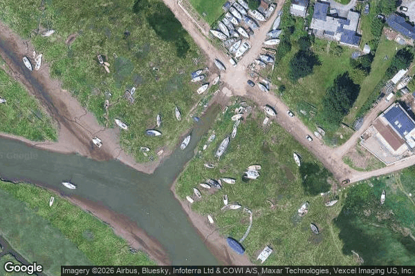
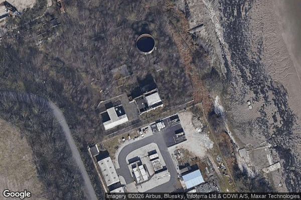
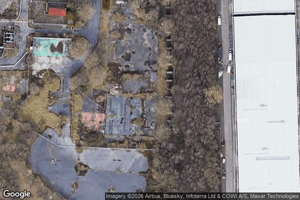
Spots in Wirral

Birkenhead Priory, Birkenhead
Carr Bridge Road, Upton

Conway Street, Birkenhead
Dock Road North, New Ferry

Gilbrook School, Upton

HMS Bronington, Wallasey
Hoylake
Moreton
Rake Lane, Wallasey
Riverbank Road, Bromborough
Rock Park Road, Birkenhead
St Alban's Road, Wallasey
The Latent Coordinate
The Moorings, Heswall
Traces Within The Grid
Waterloo Place, Birkenhead
Whispers from the Grid