Antrim And Newtownabbey
Urbex Map Castle Lug, Antrim and Newtownabbey District
Antrim And NewtownabbeyNorthern IrelandUnited Kingdom
Regular lifetime updates
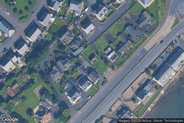
Castle Lug, Antrim and Newtownabbey District - Coordonnées GPS Urbex
Obtenez la coordonnée GPS exacte de ce lieu abandonné situé dans le département Antrim And Newtownabbey (Northern Ireland, United Kingdom). Spot urbex vérifié et géolocalisé.
Belfast High School (BHS) is a co-educational voluntary grammar school in Jordanstown, Newtownabbey, County Antrim, Northern Ireland. It was established in 1854 and is within the North Eastern Region of the Education Authority. In May 2007, it was awarded Specialist Status in Languages and in March 2012, it has been recognised as one of only six post-primary schools in Northern Ireland to be in the top 10% for performance at both GCSE and A-level.
0,90EUR
Paiement unique - accès à vie
100% Secure Checkout
AMEX
Google Pay
stripe
SSL encrypted · No banking data stored
Ce qui est inclus
- Coordonnée GPS exacte
- Photo satellite du spot
- Accès immédiat après achat